

Program—Day 2 • Thu Oct 29
Welcome & Keynote Address
More details coming soon.
SOCIETY & CULTURE
Why Every Neighbourhood Needs Pedestrian Streets
Oak Bay Room
While many municipalities across BC have tested car-free spaces through plazas, events, and school streets, there is a growing need for guidance on how to scale them into connected, year-round networks. This session will explore how communities can move from pilot projects to permanent pedestrian spaces, with lessons on design, activations, and public/political buy-in, and clear, practical advice. The session will also highlight lessons learned from communities across BC, helping participants avoid common pitfalls and adapt proven approaches to their local context.


POLICY & STRATEGY
From Plan to Pavement: Why AT Plans Stall and How to Fix Them
Esquimalt Room
While many communities across BC have developed ambitious visions and comprehensive systems for safer, more inclusive, and better-connected networks, far fewer have translated into meaningful on-the-ground change. This session explores the growing gap between adopted plans and built infrastructure, and asks the critical question: what happens after Council adopts the plan? Through follow-up interviews with municipal staff and elected officials, we identify barriers to implementation, including funding constraints, political turnover, cost escalation, staff capacity limitations, and disconnect with capital programs, anchored by a case study from the Village of Belcarra, a small rural community with limited funding and minimal existing active transportation facilities. This session challenges practitioners to rethink what makes an ATNP successful: not the strength of its vision, but its ability to move from plan to pavement.


DESIGN, SYSTEMS & NETWORK EFFECTS
Let’s Get Comfy: Using Comfort to Plan For Cycling Infrastructure
Theatre
For decades, the quality of cycling infrastructure has been categorized by the type of facility that defines it. However, the each type can deliver markedly different user experiences depending on how and where the infrastructure is implemented. Practitioners have turned to more nuanced classification approaches, based on human-centred factors such as exposure to motor vehicle volumes and speeds, as well as infrastructure width, surface, and level of separation from other road/ path users. The result? Infrastructure described using consistent language and classified by level of comfort. In this session, you'll learn about the new comfort-based facility selection tool in the updated BC Active Transportation Design Guide, as well as how SFU, TransLink, and HUB Cycling use a comfort-spectrum to classify and track cycling network progress at the local, regional, and national scales.

SOCIETY & CULTURE
Safe Streets Conflicts: Asking Government to Advocate for Itself
Oak Bay Room
POLICY & STRATEGY
Audacious Planning: Catalyzing AT Improvements
Theatre
DESIGN, SYSTEMS & NETWORK EFFECTS
Reconciliation You Can Bike On: How Tkʼemlúps & the Ministry Built a Safer Shuswap Road Together
Esquimalt Room
Afternoon Plenary — Panel Discussion
Beyond the Binary: Exploring the Future of Shared Transportation Corridors
Theatre
SOCIETY & CULTURE
From Pilot to Permanence & The Arc of Change: Uptown Plaza, A Case Study
Oak Bay Room
POLICY & STRATEGY
Reconciliation in Motion: Indigenous Inclusion in AT Plans Across B.C.
Esquimalt Room
DESIGN, SYSTEMS & NETWORK EFFECTS
How Victoria Reached 44% Walk & Bike Mode Share
Theatre
SOCIETY & CULTURE
From Modes to Moments: Designing Mobility for Real Life
Theatre
POLICY & STRATEGY

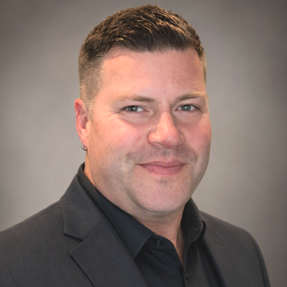
Samir Ajanovic is a Transportation Planner with Arcadis based in Vancouver, BC. Originally from the Netherlands, Samir brings a Dutch perspective on mobility and active transportation to projects across Canada. Samir works with municipalities and agencies on active transportation and broader transportation planning projects, helping shape safer, more connected, and sustainable communities. Samir has experience in network planning, transit-oriented development and multimodal transportation solutions, with a focus on delivering practical improvements that support walking, cycling, and accessible mobility while incorporating the practical, people-focused approach often associated with Dutch transportation planning.
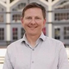
Nick Armstrong is the Supervisor of Transportation Operations for the City of Victoria. He leads and supports transportation data collection and traffic signal modernization programs, with a focus on improving roadway safety, operations, and mobility. His work includes deploying emerging technologies, analyzing transportation data, and advancing smart traffic signal systems to support a safer and more efficient transportation network.

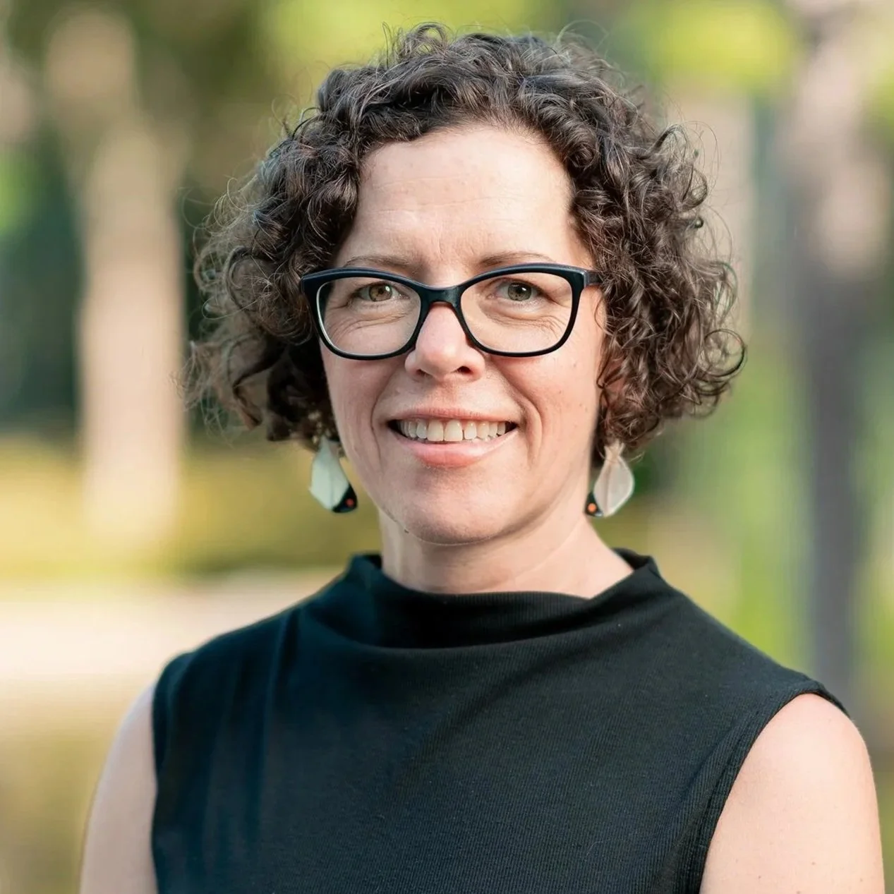
Molly is the Regional Coordinator for Children’s Active Transportation at TransLink, where she works with partners across sectors and levels of government to advance child-friendly mobility and active transportation. She partners with local governments, schools, and community organizations to build the policy, funding, and program supports that make active and sustainable travel easier and more accessible for children and families. Her work involves initiatives such as the TravelSmart4Kids Strategy, the School Neighbourhood Activation Playbook, and programs such as the Walking School Bus and Bike Bus.
Translating Dutch AT Principles to the BC Context
Esquimalt Room
DESIGN, SYSTEMS & NETWORK EFFECTS
Active Travel Network Data — A Panel Discussion
Oak Bay Room
SOCIETY & CULTURE
Making Connections for Cycle Tourism in BC
Oak Bay Room
POLICY & STRATEGY
Samir Ajanovic is a Transportation Planner with Arcadis based in Vancouver, BC. Originally from the Netherlands, Samir brings a Dutch perspective on mobility and active transportation to projects across Canada. Samir works with municipalities and agencies on active transportation and broader transportation planning projects, helping shape safer, more connected, and sustainable communities. Samir has experience in network planning, transit-oriented development and multimodal transportation solutions, with a focus on delivering practical improvements that support walking, cycling, and accessible mobility while incorporating the practical, people-focused approach often associated with Dutch transportation planning.
Nick Armstrong is the Supervisor of Transportation Operations for the City of Victoria. He leads and supports transportation data collection and traffic signal modernization programs, with a focus on improving roadway safety, operations, and mobility. His work includes deploying emerging technologies, analyzing transportation data, and advancing smart traffic signal systems to support a safer and more efficient transportation network.
Molly is the Regional Coordinator for Children’s Active Transportation at TransLink, where she works with partners across sectors and levels of government to advance child-friendly mobility and active transportation. She partners with local governments, schools, and community organizations to build the policy, funding, and program supports that make active and sustainable travel easier and more accessible for children and families. Her work involves initiatives such as the TravelSmart4Kids Strategy, the School Neighbourhood Activation Playbook, and programs such as the Walking School Bus and Bike Bus.
Neighbourhood Streets, Big Connections
Theatre
DESIGN, SYSTEMS & NETWORK EFFECTS